Northeast Florida Bluewater Gulfstream Spots
Jacksonville and St. Augustine Florida bluewater and Gulf Stream fishing spots with GPS coordinates for Wahoo, Dolphin, Blackfin Tuna and other pelagic bluewater fish. Our GPS Fishing spots at the ledge provides anglers with some of the best fishing spots available for bluewater fishing and ledge fishing with a ton of great fishing opportunities from 50 to 75 miles offshore. These fishing spots cover a wide variety of fishing locations near the ledge for resident bottom fish and migratory pelagic fish species. The Jacksonville and St Augustine ledge and gulfstream area in general is a hotbed for these types of fish with popular fishing spots and fishing locations such as the Tuna Patch, South Ledge and other fishing hotspots in or near the gulfstream and along the ledge. Or, have this fishing area loaded to an SD Card for your GPS and mailed to your front door. See what you get and how it works
What could I catch at these fishing spots? Jacksonville and St. Augustine Florida ledge and Gulf Stream fishing spots targets bottom fishing, live bait trolling and high speed trolling locations in 160 ft. to 1000+ ft of water. Targeted fish species are Grouper, Red Snapper, Amberjack, Vermilion Snapper, Cobia, Mahi or Dolphin, Wahoo, Sailfish, Blue Marlin and Tuna. St. Augustine and Jacksonville offer some of the best deep water fishing in the USA. Period.
Northeast Florida Bluewater and Gulf Stream fishing spots for GPS, mobile and computers. Import our specially created GPS file and load all these fishing spots straight to your GPS using a blank SD card. Within a few clicks, you’ll have access to use our simple, easy to use copy and paste GPS files. See how this works here. Our GPS waypoints and fishing spots file works with Garmin, Simrad, Lowrance, Humminbird, Raymarine Hybrid and Furuno TX Touch GPS models that accept an SD card. Also included is our Google Earth File that works with your Phone, Tablet or computer. See your spots, comments and other info and surroundings before you even launch your boat.
Preloaded GPS SD Cards are available. See how to get these fishing spots preloaded to a fishing spots GPS SD card and mailed to you.
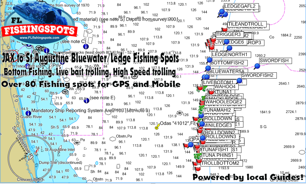
Load those fishing spots! See the Jacksonville and St. Augustine Florida bluewater and Gulf Stream fishing spots loaded to a GPS and mobile device below. Note: Actual GPS views will vary depending on your GPS model and age. Our fishing spots load and work seamlessly with Garmin G2 Vision Maps, Lake VU and all Navionics charts as shown in the below sample.
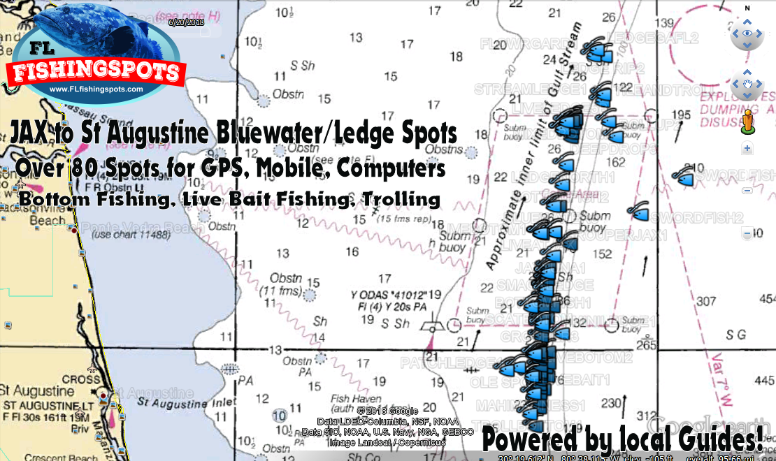
Below, see the Jacksonville to St. Augustine bluewater ledge and Gulf Stream fishing map loaded to a computer or mobile device. Google Earth has become amazing for fishermen! Use our Google Earth fishing map with built in NOAA imagery at home or work, or on the go using the free Google Earth app on your mobile device and computers!
Note: Load the Google Earth file for trip planning background and comments for each fishing spot, or load fishing spots to your boats GPS, Phone and computer any time, all the time.
With any of our Florida fishing spots, here is what you get and how it works: See what’s included
Jacksonville to St. Augustine Bluewater Fishing
Spots Map Only $99.99!
As always, purchase with confidence from The Cosatal Fishing Group! We’re a 14 Year Verified Seller and Merchant with 100% Positive seller Feedback. Your fishing map files for your purchased area will be emailed in Google Earth, Android, iPhone, PDF Printable Coordinates and GPS Upload Files, all sent shortly after checkout. Thank you for your business and we look forward to serving you in the future. — Fish on!


