Welcome to Florida GPS Fishing Maps and Fishing Spots!
The founder of Florida GPS Fishing Maps Company has been in the fishing, guiding and boating business for nearly 30 years and counting. The sole purpose of his career is to help people in the fishing community when they needed it including showing anglers how to rig, fish certain areas, catch bait, run their boat, use their electronics and much, much more. To this day, he is still reaching out to offer help to anglers and the company now offers custom designed electronic fishing map system for Anglers in need of good fishing spots.
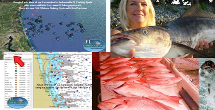
GPS Fishing Map Development and Map Environment Design – During these latter years of his career, the owner has employed many staff. At the top of the chain, Dana King, a former software design employee of the largest manufacturer of Marine GPS units in the world. Together, with the owner and our guide cooperative have coupled to compile GPS Coordinates and Data from over 129 southeastern coastal areas to bring you some of the best fishing spots ever made available in modern times for a variety of GPS and mobile devices.
Florida Offshore GPS fishing spots start at only $99.99. Please email anytime for custom fishing map pricing by sending your request using our quick contact form here.
How are the Maps and GPS Coordinates Placed? When GPS waypoints and coordinates are added to a map area during design, the latest in GPS Map Integration Software is used along with NOAA Raster Charts WSG84 Datum. During waypoint placement into any fishing map area, three methods are implemented to check waypoint accuracy implemented by our head of staff and network champion, Ms. Dana King. In short, the implementations used to format all our GPS coordinates to work with may GPS models, Google Earth integration and environment, fishing spots comments, printable list of GPS Coordinates along with a GPS import file for direct upload to an SD card and your GPS, and is all installed with a just a few clicks using a windows computer and SD card 32 GB or less. (Yes, we offer preloaded SD cards to match your purchased areas and your particular GPS model. This is selected at checkout if you choose to have your spots loaded to an SD Card and mailed to you)
Where did the GPS Coordinates come from? The GPS Coordinates and fishing spots are not placed within our product by guess work. They’re organized and provided by our internal guide network which has been around for over 15 years. This selected group of professional fishermen are part of what we call our Fishing Guide Cooperative. Contact us here for participation information to inquire about becoming a professional contributor. We do not share or advertise any information or names about our staff of contributors.
Florida Fishing Maps are specialists in the following types of User
Waypoint Development and Mapping:
- GPS LAT/LONG Development in Exhange (GPX) format for multi-device and GPS use
- Fishing Waypoint Placement and Accuracy
- Fishing Waypoint Import/Export Hardware and Software
- Fishing Waypoint Management in NOAA Raster Maps with Waypoint Comment and Data Collection
- Waypoint format creation for many major brand GPS models; Garmin, Raymarine Hybrid.Touch models, Simrad, Lowrance, Humminbird and Furuno TZ touch models that accept an SD card. (No CFC Flash Cards are compatible with todays waypoint technology) Waypoint extensions include; gdb, gpx, adm, usr, dat, wpt, rwf, xml, csv, hwr, kml, kmz, and a dozen more.
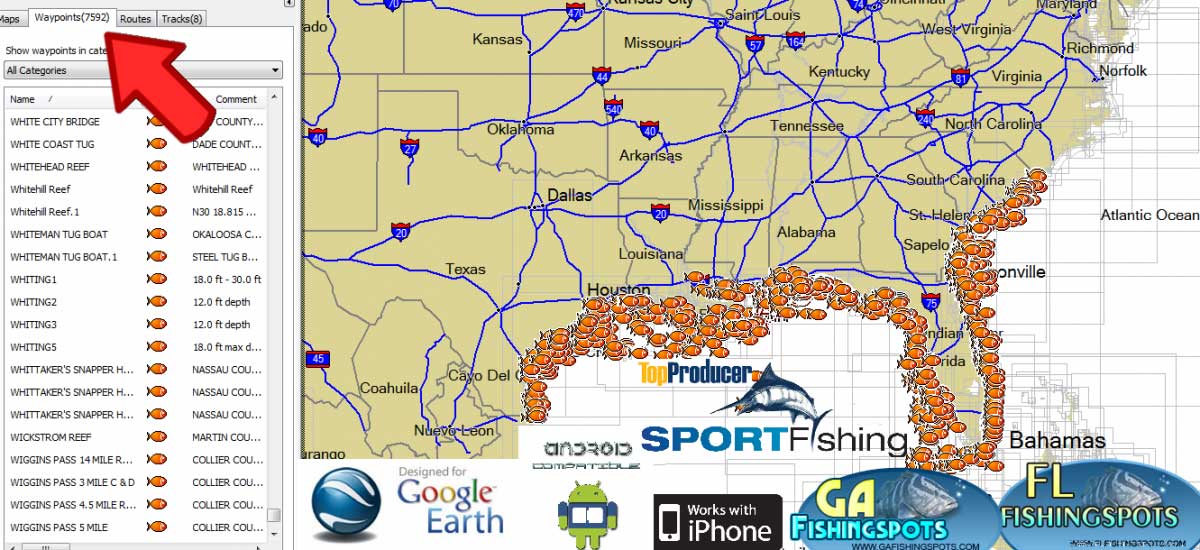
- Google Earth KML Fishing Waypoint programming and NOAA mapping Environments using or compatible with; gdb, gpx, grm, collada, xml, csv, xls, NOAA Raster Charts, kmz, iphone, Android and more.
- Fishing Waypoint Data/Info and Coordinates merging using xml and csv conversions; meaning, all this magically turns into a viewable and usable GPS product for our customers on their GPS and mobile devices using Google Earth and other GPS apps.
What’s all this mean? A finished product file set that loads to an SD card and right into your GPS. Other included files are used with Google Earth on your Computer, iphone and Android devices. You can use Google Earth as a GPS and fishing trip planner, but not recommended as an aid to navigation.


