Cedar Key to Steinhatchee Fishing Spots
Cedar Key Florida to Steinhatchee Florida fishing spots with GPS coordinates for inshore fishing and offshore fishing up to 20 miles into the Gulf. Florida fishing spots provides over 150 fishing spots for Cedar Key, Steinhatchee and Horseshoe Beach Florida for Snapper, Grouper, Spanish Mackerel, Kingfish, Cobia, Trout and other gulf saltwater fish species. The Cedar Key and Steinhatchee fishing spots are located in State waters and Federal waters to optimize your fishing time on the water including bottom fishing spots and trolling spots for your GPS, mobile devices and computers. See how this works and whats included
Cedar Key, Horseshoe Beach and Steinhatchee fishing spots are tried, trued and proven to be the best spots available for near shore and offshore fishing in the Florida Big Bend. Our local guides have organized some of the best fishing spots and GPS spots for bottom fishing, live bait trolling and drifting for Cobia, Kings, Spanish Mackerel and others. Enjoy chum drift bottom fishing or trolling stretch 25’s and 30’s for Grouper, Amberjack, Snapper Cobia and much more! You will find these types of fish anywhere from one mile to 15-20 miles offshore. Our fishing spots cover habitat such as hard bottom, ledges, limestone, natural bottom, reefs, wrecks and live bottom fishing locations. Our fishing spots are provided by several local guides in our network from Cedar Key, Steinhatchee and Horseshoe Beach Florida.
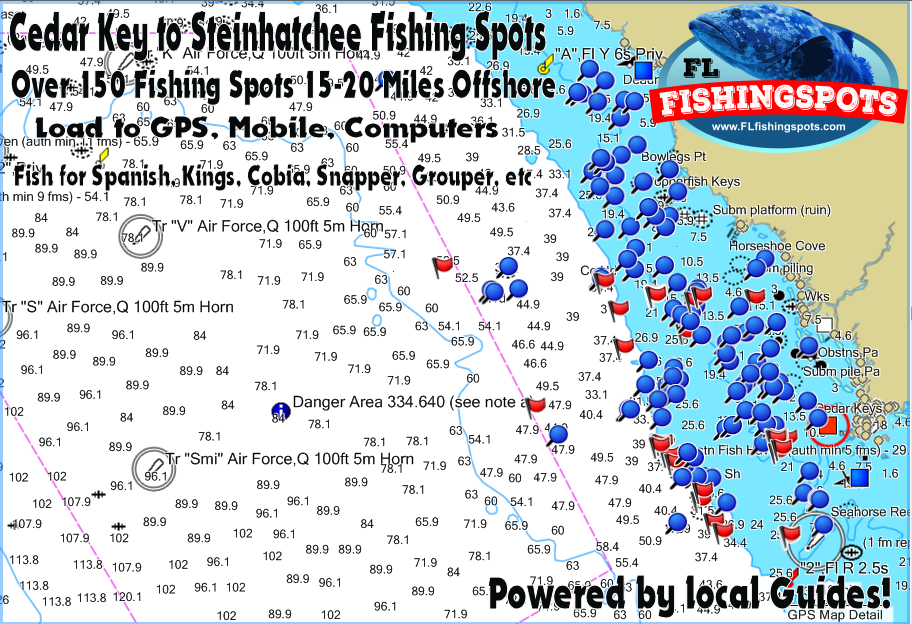
Load fishing spots to your GPS and mobile devices. Load any of our fishing spots to your mobile device or computers using Google Earth and the Navionics App (c). Import spots to your boats GPS using our included copy and paste GPS files (for advanced windows PC users only). Our GPS files work with Garmin, Lowrance, Simrad, Humminbird and Raymarine Hybrid GPS models that accept an SD card. Below see these spots loaded to a GPS using our included files. Remember, actual views will vary per GPS model and age.

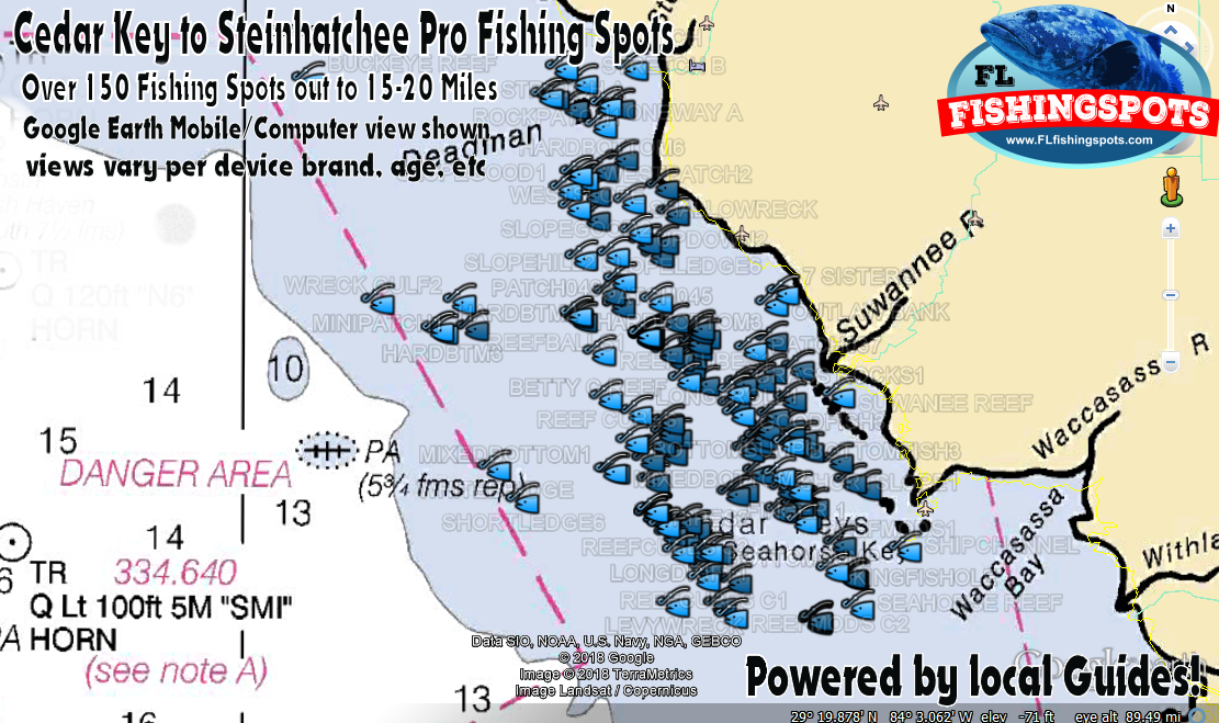
Cedar Key, Horseshoe Beach, Suwanee and Steinhatchee fishing spots and fishing map in Google Earth view with NOAA Nautical fishing chart overlay built in to one of our Google Earth files! This file is always included with any purchase and works with the Google Earth app on iPhone, iPad, Android, Droid and Computers.
Note: Use the Google Earth app to read full comments on these spots before you even launch your boat! Use with mobile or computers. Also, we include files compatible with the Navionics Boating App (c) for Android and IOS to use your mobile device on the water.
Cedar Key to Steinhatchee Fishing
Spots Only $99.99
As always, purchase with confidence from The Coastal Fishing Group! We’re a 15+ Year Verified Seller and Merchant with 100% Positive seller Feedback. Your fishing spots files for your purchased area will be emailed in Google Earth, Android, iPhone, PDF Printable Coordinates and GPS Upload Files, all sent shortly after checkout. Preloaded SD cards are mailed priority the following business day after purchase. Thank you for your business and we look forward to serving you in the future. — Fish on!


