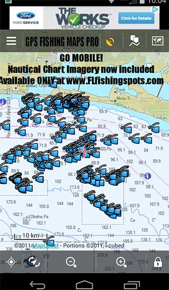
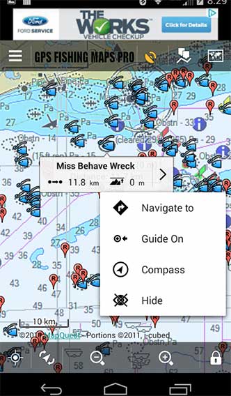
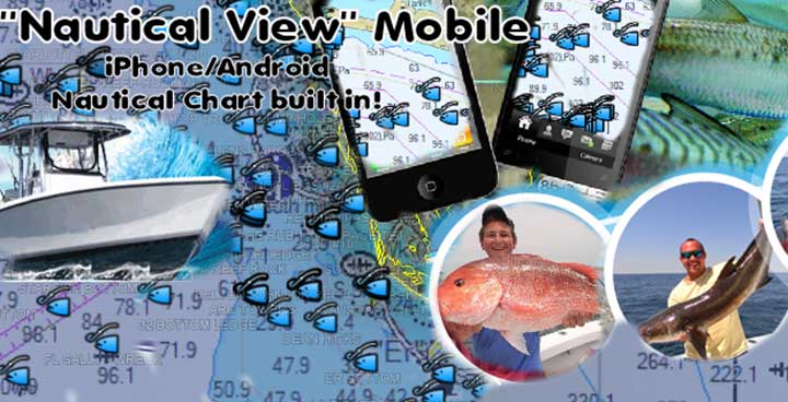
Florida Fishing Spots Mobile for Google Earth
NOAA has phased out this useful detailed mapping for Google Earth. They plan to replace it, but no launch date has been announced as of early 2023. These files contained up to date NOAA digital nautical chart overlays provided by NOAA. This technology is being phased out by the NOAA map server, but they are working hard to replace this mapping with something newer and more detailed. At that time, we were the first to integrate NOAA Nautical Chart overlays into fishing maps, linked to purchased fishing spots locations. So, as time goes forward, we will be watching for NOAA to launch the replacement for this much needed and appreciated technology. For now, please import our fishing spots files into the Navionics Boating app, owned by Garmin. Their app and mapping provides users with HD mapping with vivid detail of buoys, shipping lanes, sand bars and shallow areas, depths, bottom contours and so much more for navigation on mobile devices.
Florida NOAA Nautical Charts for Mobile
User Note: If you’re looking to shop with us, always be sure you see our BLUE OVAL LOGO on the header when shopping for our fishing maps online. This logo is found atop all our websites in (10) Coastal States. We are the original internet store offering digital GPS fishing spots on the web, and we’ve been in the fishing spots business for 20 years online and on land.
Mobile fishing maps are the future of fishing in conjunction with digital nautical charts and electronic mapping using mobile devices. There are several advantages of this mapping system when used with your iPhone, iPad, Android or Droid Device. Mobile Charts by Navionics Boating and other digital charts sources. As NOAA works to replace their mapping and servers for electronic nautical charts, we highly recommend the Navionics Boating app for ALL your mobile mapping needs for inshore or offshore fishing spots in high detail.
- The Navionics Boating app works great with our included-emailedGPS files
- You can ALWAYS still use your spots with Google Earth satellite imagery
- Charts are built into Navionics Boating for ease of use
- View chart symbols, depths and contours and custom added features
- May help you find breaks and rips near contours and shallow humps
- This app works with Mobile devices, for both IOS and Android devices
- CAUTION – Always use a marine GPS as your main Navigation tool, not a phone.


