Our fishing spots work with Android mobile devices using the free Google Earth app and other GPS apps such as the Navionics Boating app on Android or any other mobile device brand. Click here see fishing spots that load to Android devices!
Google Earth fishing maps – This file is emailed directly to you the same day of purchase. This included file (for any purchased fishing location) loads to your android Mobile Device with the Google Earth app. This mobile file is included with any purchase! See FULL comments on spots using Google Earth.
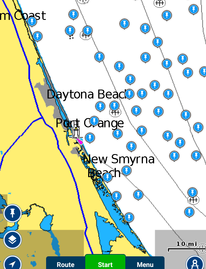
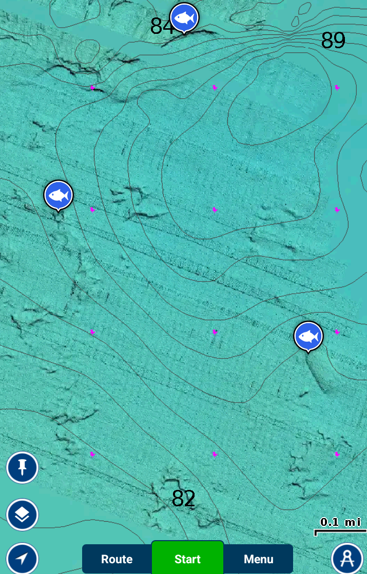
Many of our Customers now use their fishing spots with an Android device as an aid to locating fishing spots and fishing trip planning. Although this is considered a GPS file, it should only be used as an aid to locating your spots and allows you to view comments on the spots. For true and much safer navigation, or use the Navionics Boating app for very accurate GPS navigation, also with shaded relief sonar mapping! (SEE IMAGE SAMPLES BELOW)
Note: All purchases from any of our websites, from any State comes with files for your boats GPS, Phone, Tablet and Computer. All files are conveniently emailed the same day of purchase! Copy and paste our GPS files to your own SD card. Or, you can have any fishing spots from this website loaded to SD Card for your GPS mailed right to your door, see options at checkout! Contact us with any questions
Looking for IOS GPS Fishing App info? See it here.
IMPORTANT NOTE – Currently, the NOAA map servers for Google Earth charts no longer works. We do not have further info on when the free NOAA map details will be back online. We HIGHLY RECOMMEND the Navionics Boating app for all your mobile navigation needs. See images from the app below. (The below images and logo below are copyright (c) The Navionics/Garmin Company.)


The Navionics boating app allows users to view a real time GPS screen views within the app that you would see on a marine GPS on a boat. It shows users ETA to the spots they choose, Speed over ground, Course to steer, Compass Bearing, etc. NOTE: Learning how to use any GPS app is your sole responsibility as we are not the designers of the app, we simply provide fishing spots for the apps. It should be mentioned again, we highly recommend the use of a marine GPS for accurate and safe navigation, there is no substitute. if you must use Mobile for navigation, there is no better the the Navionics app, Period. Have a great day on the water, FISH ON!


